


Geoinformatics Solutions for Integrated Agro-ecosystems Research

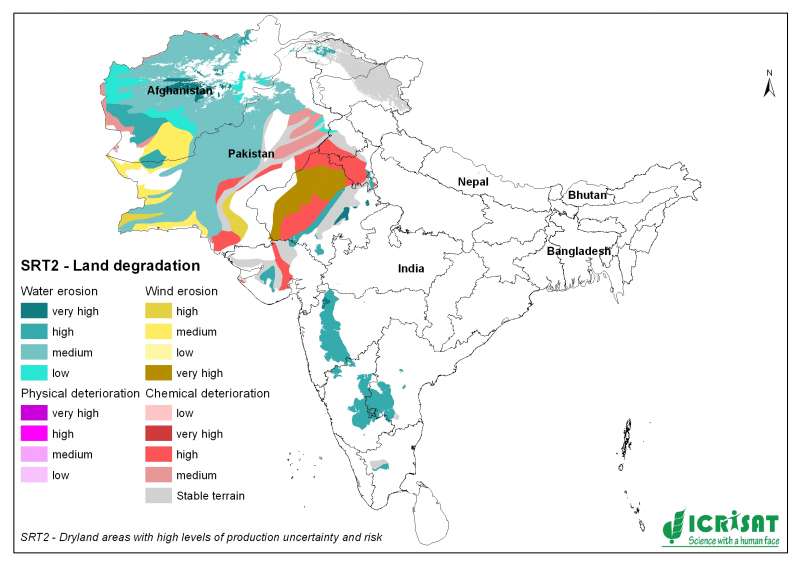
SRT2-type drylands: land degradation
Global Assessment of Human-induced Soil Degradation
(GLASOD)
The GLASOD project (1987-1990) has produced a world map of
human-induced soil degradation. Data were compiled in cooperation
with a large number of soil scientists throughout the world, using
uniform Guidelines and international correlation. The status of soil
degradation was mapped within loosely defined physiographic units
(polygons), based on expert judgement. The type, extent, degree,
rate and main causes of degradation have been printed on a global
map, at a scale of 1:10 million, and documented in a downloadable
database. Information about the areal extent of human-induced soil
degradation can be found in an explanatory note.